
Keeping the Chesapeake Bay Vibrant
ARS researchers are working to combat a major problem for the Chesapeake Bay – a vibrant watershed that is of great importance to businesses and residents in the Mid-Atlantic region. The Chesapeake Bay supports a large fishing industry, contributing billions of dollars to local economies, and provides healthy drinking water for millions of residents.
The watershed is also home to a robust agricultural economy and its farmers who want to protect this vital body of water. Reducing erosion and nutrient loss from farms is a major effort for that purpose.
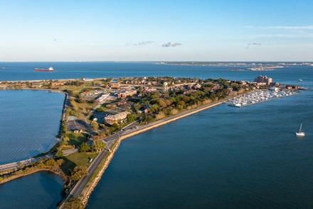
Aerial View of the Fort Monroe National Historic Site looking toward Norfolk and the Chesapeake Bay. (Getty Images).
Both urban and agricultural runoff contribute significant sediment and nutrient loads to the Bay, but due to its geographical footprint agriculture is the greatest source in the watershed. USDA-ARS scientists are helping farmers protect the Bay by developing management practices to reduce runoff from their land. Xuesong Zhang, an ARS physical scientist at the Hydrology and Remote Sensing Laboratory in Beltsville, MD said the extent and diversity of agriculture in the watershed creates a challenge to develop practices that many farmers could adopt in their production systems. “For such a large watershed like the Chesapeake Bay, we want to use a modern monitoring tool because we cannot go to every agricultural field to monitor runoff,” he said.
ARS scientists and their partners have created a new agricultural conservation monitoring system with remote sensing maps and numerical models to target conservation practices to reduce nitrogen, phosphorus, and sediment exports to the Chesapeake Bay.
“By retaining soil and nutrients on the farm, such practices can also enhance soil health, contributing to long-term agricultural profitability,” Zhang said. “For example, farmers receive payments to adopt cover crops, which offer various on-farm benefits, including building soil organic matter, suppressing weeds and pests, alleviating soil compaction, providing livestock forage, and reducing fertilizer costs.”
With high-resolution conservation practices mapping tools, scientists can focus on the impact soil erosion and nutrient runoff are having on the water and soil in and around the Chesapeake Bay. With this data, they will be able to improve conditions for the commercial fishing industry, and for the Bay’s living resources – including blue crabs, oysters, and a wide variety of fish.
Zhang said the ARS project is looking at two types of farming methods as a possible source to improve soil health and reduce nutrient runoff near the Bay.
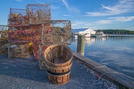
Crab pots and baskets along a Chesapeake Bay jetty. (Getty Images).
“Basically, we are targeting conservation tillage and cover crops,” he said. “The challenge is that we don’t know every location where farmers have adopted existing conservation practices. So that’s why we are using remote sensing data, at a 30-meter resolution, to map those agricultural practices, so we can apply the model developed by ARS to identify cost-effective ways to expand conservation practices to support profitable crop production while protecting soil and water.
“By reducing pollutants that are discharged into the Chesapeake Bay, we can improve water quality and help the commercial fishing industry,” Zhang added.
The Chesapeake Bay is the largest estuary in the United States, covering 64,000 square miles across six states and home to more than 18 million residents.
This collaborative ARS research project utilizes a combination of satellite imagery, and on-site field testing to gather agricultural operation data, which will be fed into a numerical model to assess and optimize performance of candidate agricultural conservation practices. Through these assessment tools, researchers hope to improve conditions for Chesapeake Bay aquatic life, for its residents, and for the commercial fishing industry over the long term. – Tami Terella-Faram, ARS Office of Communications